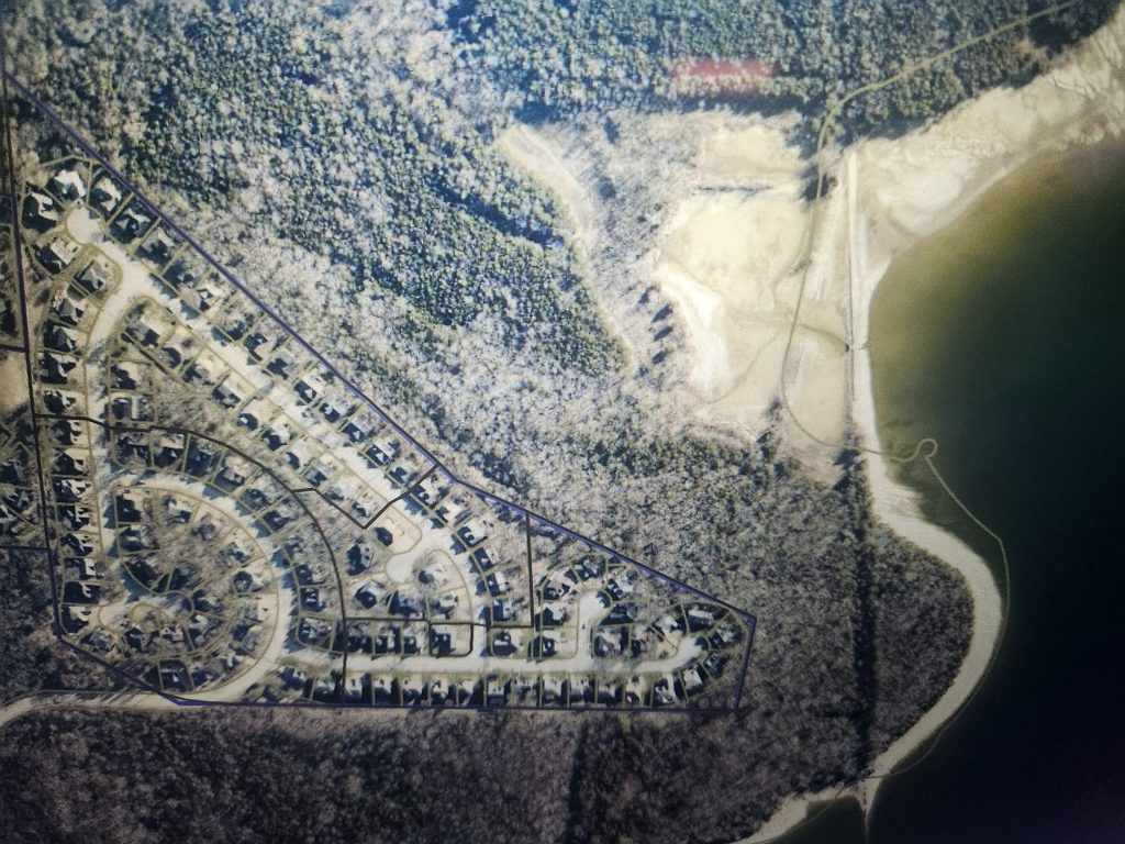
This site contains detailed data such as ownership, zoning, and permits as well as information on a variety of other layers for parcels in Nashville and Davidson Co.
If you are interested in looking at property lines, this is a great tool. It shows individual property lines, easements, common area, the boundaries of the neighborhood and Corp of Engineers. Just click the link, move the picture to the area in question, and zoom in to the area you want to see up close. Once you are in the location you want, click on the 4 little squares (second option from the left) and choose the aerial view from the year you would like to view. When you X out, you’ll see the view.
https://maps.nashville.gov/ParcelViewer